If you follow us on social media, you know we are one of five who have been nominated for a Webby People’s Voice Award in Sustainability and Environment! The Webby Awards were established in 1996 by the International Academy of Digital Arts and Sciences (IADAS) to celebrate excellence on the Internet.
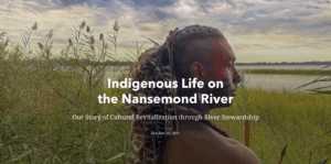
Our team worked with Nansemond Indian Nation members, including Nikki Bass, Keith Anderson, and Leila Avery, to develop the nominated StoryMap, Indigenous Life on the Nansemond River. Creating a product that celebrates the culture and journey of the Nansemond people, ecology of the Nansemond River, the history of life on the river going back 12,000 years took intense research, a carefully-crafted narrative, and creative, custom graphics. Continue reading for a behind-the-scenes peek at the making of the StoryMap, and don’t forget that voting closes on April 21st! Add your voice and vote for us here.
First and foremost, the StoryMap belongs to our Nansemond Indian Nation collaborators who developed much of the content about their culture and history. Their desire to tell their story was at the heart of this project and we truly worked as a team to make it happen.
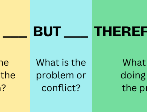
As we often do, our team began the project by thinking about audience and objective. Nikki, Keith, and Leila wanted to keep the audience broad to reach as many people as possible, but keep in mind specific groups of interest, including teachers who could bring the StoryMap and its resources into the classroom and other indigenous groups who could use the final product as a template to tell their own stories. The objective was to boost awareness of and appreciation for the history and culture of the Nansemond Indian Nation.
From there, we crafted an outline of the overall narrative. The goal was to focus on snapshots of life for the Nansemond people at various stages of their history, as well as the ecosystem of the Nansemond River which is inextricably linked to their culture and identity. Finally, they wanted to bring readers to the present and celebrate the ways that the Nation is restoring the environment and building back connections to their home.
To turn this narrative into a Storymap, we developed a wireframe outline. For this project, we knew we might be limited on existing maps and imagery to illustrate the history. Rather than start with an inventory of what exists and build the narrative around those resources, we chose to keep the story at the center. We filled in the wireframe with descriptions of the kinds of resources we wanted to find without knowing if they existed or not. What we ended up with was a wishlist of ideal maps, images, and other content. From this clear objective of what we wanted, the team poured over books and articles as well as speaking with experts to piece together resources to make the StoryMap as richly illustrated as possible.
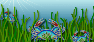
We checked items we found and content that we were able to create off our wishlist. Historic maps were combined to give a more comprehensive view and custom graphics designed to illustrate specific points. One of our favorite custom graphics was the beaded crabs in seagrass – it placed culturally-significant beadwork within an ecological setting and brightened up the StoryMap.
In the end, the final narrative guides readers through the ecosystem, early stewardship, displacement, decline, the journey home, and healing on the Nansemond River. Read through the StoryMap here.
